Brook Road South – Market Gardening
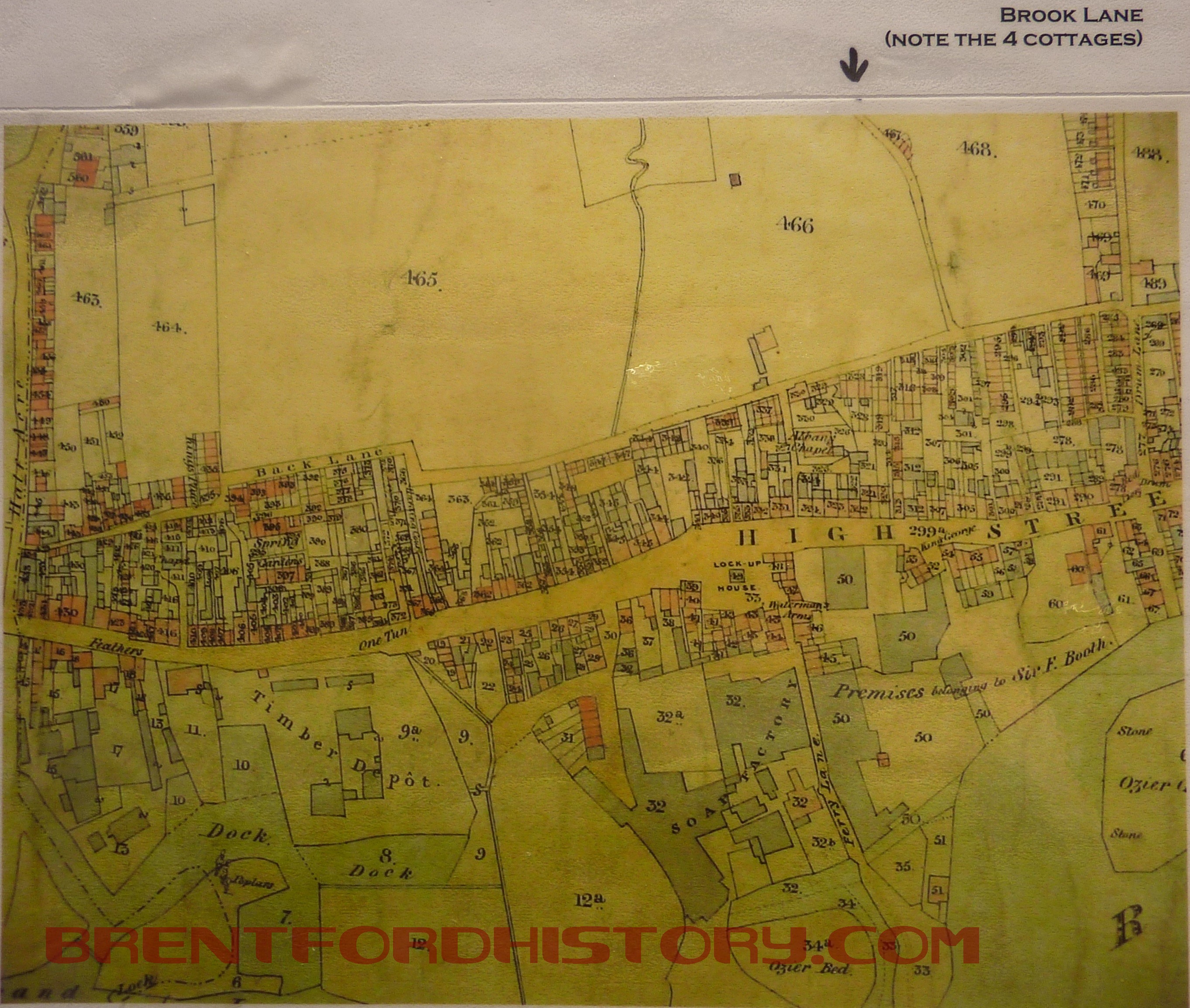
In 1837, a few months after Victoria became Queen, a piece of land between Brook Lane and Drum Lane (now Ealing Road) was for sale. It was described as 4 acres of partly walled Market Garden Ground and it contained ‘Three Respectable, residences, a cottage and numerous outbuildings’.
The map with the notice of sale shows that the buildings were near the present site of the Griffin. There’s a bend in Brook Lane to the left which is still there and the brook runs as an open stream along the west side of the road. Continue reading “Brook Road South – Market Gardening”