
Brook Road South – The Brook
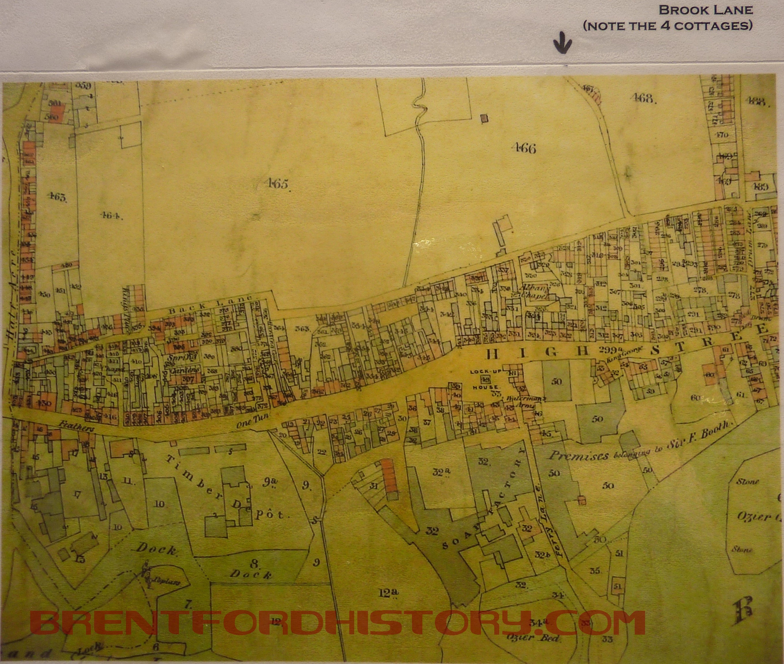
The Tithe Map of Brentford in 1841 shows that the area of the town west of Drum Lane (now Ealing Road) was tightly packed buildings between the High Street and Albany Road with open ground beyond. Running north to south is a blue line marking the route of the brook. Parallel with the water course is a narrow road and at a sharp bend there are four cottages later called Brook Terrace. Continue reading “Brook Road South – The Brook”
